Terrain on the map
· 5 minutes de lecture

Hi Everybody!
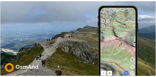
OsmAnd has the ability to display terrain offline in a variety of ways: contour lines, hillshades, slopes, altitude graphs..
Hi Everybody!
OsmAnd has the ability to display terrain offline in a variety of ways: contour lines, hillshades, slopes, altitude graphs..